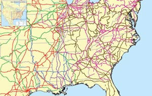
This is an interactive map of the major freight railroads, also known as class I railroads in the United States. They include CSX, Norfolk Southern (NS), Burlington Northern and Santa Fe (BNSF), Union Pacific (UP), Canadian Pacific (CP), Canadian National Railway (CN), and the Kansas City Southern (KCS).
Category: Rail Maps
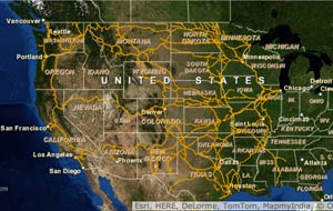
Railroads are the lifeblood for North America’s freight transportation. There are seven major railroads in the United States (Class I railroads) and over 500 shortline and regional railroads (Class II & Class III railroads). These lines are critical for shippers needing an economical solution to long-haul transportation. See our interactive maps below. [module-129]
BNSF Map
This is an interactive system map of the Burlington Northern Santa Fe (BNSF) Railway, a class I rail carrier along the western half of the United States. It shows transportation routes spanning over 32,000 miles.
Continue reading “BNSF Map”Union Pacific Map
This is an interactive system map of the Union Pacific (UP) Railroad, a class I rail carrier along the western half of the United States. It shows transportation routes spanning over 31,900 miles.
Canadian National Map
Canadian Pacific Map
Kansas City Southern Map
North Carolina Rail Map
create north carolina rail map to insert here
This is an interactive map of North Carolina railroads, including the Aberdeen Carolina & Western in magenta, CSX in blue, and Norfolk Southern in gray. It shows a radius of 250 miles, which encompasses almost 6 million people. Read more about NC as a rail distribution center.